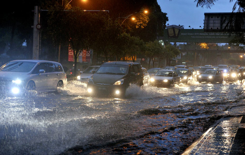
The Malaysian Meteorological Department (MetMalaysia) has issued a significant weather warning that a monsoon surge from 8 to 14 December 2024 is expected to bring continuous heavy rain. The states of Kelantan and Terengganu will be especially vulnerable to the storm.
Additionally and based on the analysis of the latest weather models, a convergence of winds is expected to occur in Kelantan and Terengganu starting Tuesday evening (3 December) until early Wednesday morning (4 December).
“The situation has the potential to produce thunderstorms accompanied by heavy rain during the period,” the statement said.

In this regard, the public is advised to always refer to the website www.met.gov.my and the official METMalaysia social media and download the myCuaca application for the latest and most accurate information.
We are not a weather channel but we feel this news is important for all of us who drive and ride, as well as those who are planning year-end holidays.
For your information, 2024 is the first year to record surface temperatures higher than the pre-industrial baseline of 1.50º. This means that this year is the warmest year on record.

Warmer surface temperatures not only cause droughts, but also more intense rainfall, typhoons, cyclones, and hurricanes. This is because the high heat evaporates water, resulting in more water vapour in the atmosphere. This phenomenon is called atmospheric convection. This water vapour then condenses and falls as heavy rain or storms.


